Land geotechnical survey
From geophysical and geotechnical surveys to environmental assessments, our services are tailored to meet the unique demands of each project. Explore the depths with confidence—choose Geoview for your survey needs.
Designed to deliver reliable, actionable insights across complex environments.
- geoview@geoview.co.kr
- +82 51.294.1603
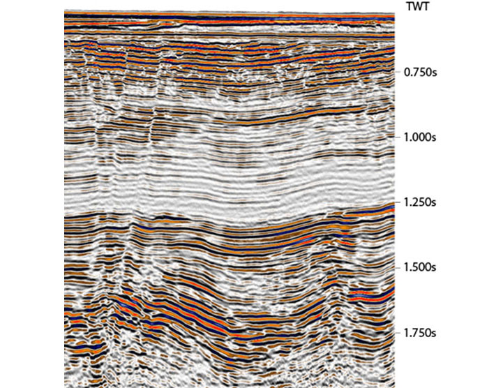
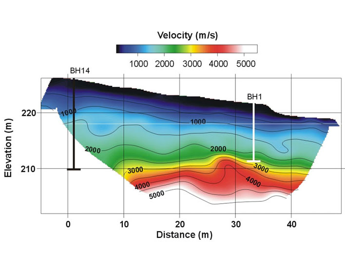
Land seismic survey
Geotechnical velocity analysis using propagation principles of artificial seismic wave
Equipment
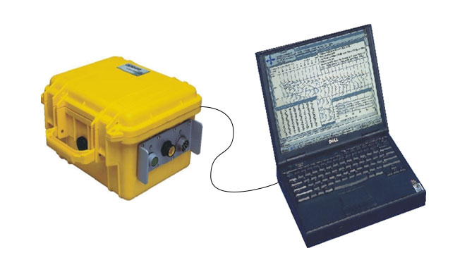
- GEODE
- BISON
Method

- Refraction wave tomography
- Reflection seismic survey
- Surface wave survey
Result
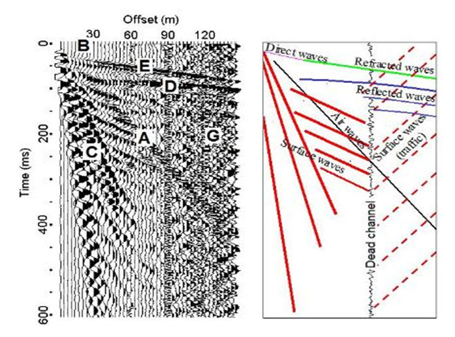
- Stratum classification of ground
- Check velocity of the strata(catch the rock type)
- Geological structure research
Using method
Geological classification by ground seismic velocity analysis, geological structure interpretation
Electrical resistivity survey
Electrical resistivity characteristics of underground medium
Equipment
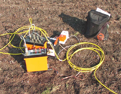
- Sting
- Electrode bar
- Electrode cable</li>
Method
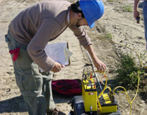
- Dipole-dipole array
- Pole-dipole array
- Wenner, schlumberger array
- Vertical discovery etc
Result
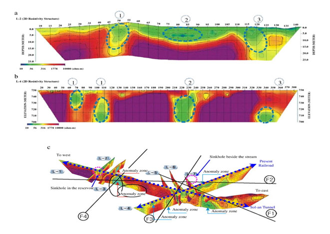
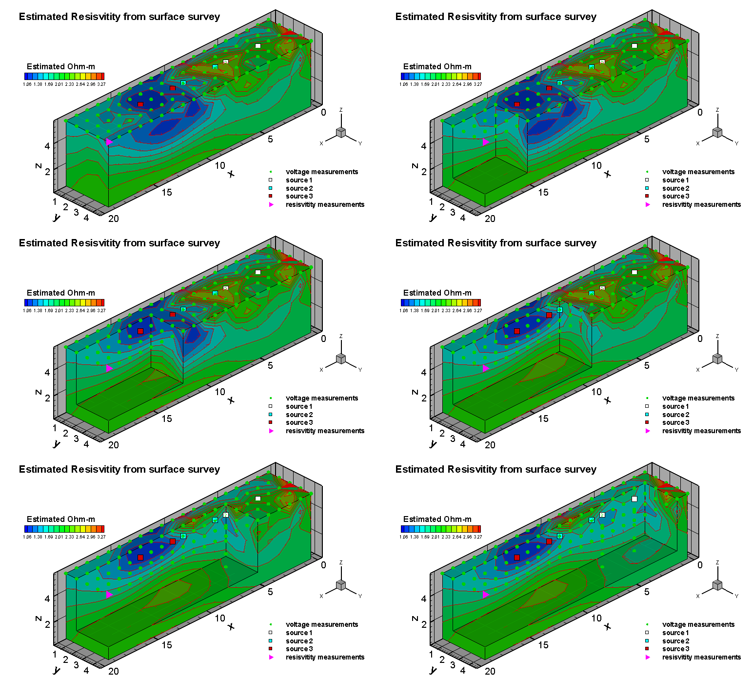
- Electrical resistivity distribution analysis of the medium by inverse modeling analysis
- 3D Fence Diagram
Using method
Bedrock depth, fault and fracture zones research, underground cavern, groundwater resource investigation, leakage monitoring of dams & banks

GPR survey
Detailed shallow subsurface investigation using radar
Equipment
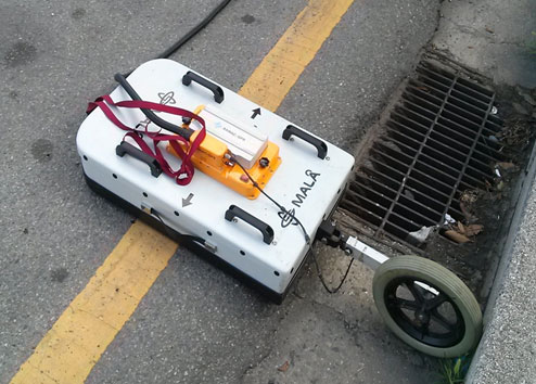
- RAMAC
- Measuring distance encoder
Method
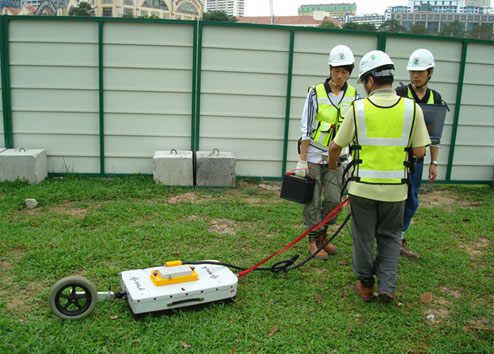
- Release the electromagnetic wave by transmission antenna
- Received by reflecting target
- Identifying position & speed of the object
Result
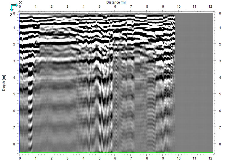
- Distance-time subsurface image mapping
- Confirmation of the underground heterogeneous body
sing method
Underground utilities(water supply and sewage, gas lines and underground cables etc.) survey, surface sediment & bedrock research, arranging structure of steel & rear side cavity survey
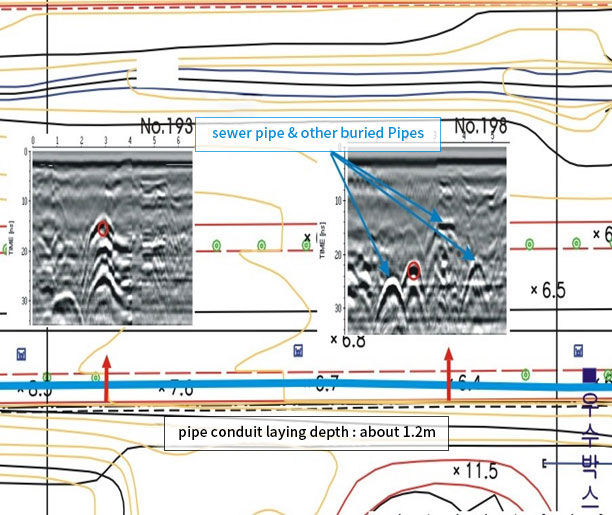
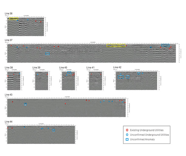
Schematic diagram


Equipment

- Sting
- Electrode bar
- Electrode cable</li>
Method

- Dipole-dipole array
- Pole-dipole array
- Wenner, schlumberger array
- Vertical discovery etc
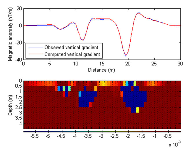
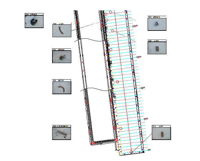
Land magnetic survey
Magnetic anomaly body survey by underground magnetic susceptibilities gap
Equipment
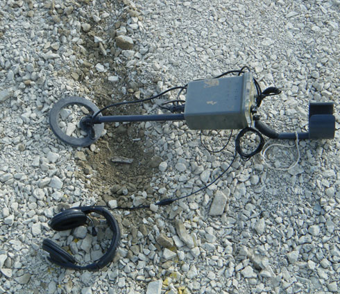
- Metal detector (sled type/portable)
Method
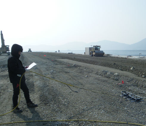
- Positioning by GPS
- Signal generation in case of founding the magnetic anomaly body
Result

- Detection of magnetic anomaly body
- Detection of buried objects
Using method
Interpretation of faults and fracture etc., mineral resources survey, investigation of metallic deposits
