Land survey
From geophysical and geotechnical surveys to environmental assessments, our services are tailored to meet the unique demands of each project. Explore the depths with confidence—choose Geoview for your survey needs.
contact us
Designed to deliver reliable, actionable insights across complex environments.
- geoview@geoview.co.kr
- +82 51.294.1603
Hydrographic survey
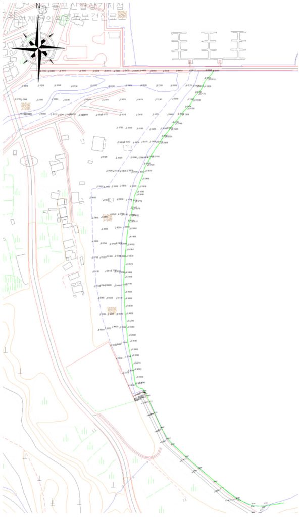
Control point survey
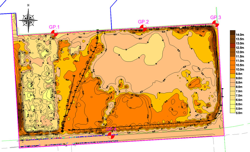
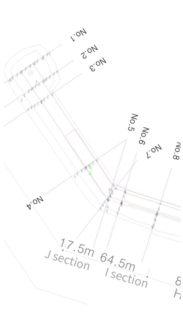
Land status survey
Equipment
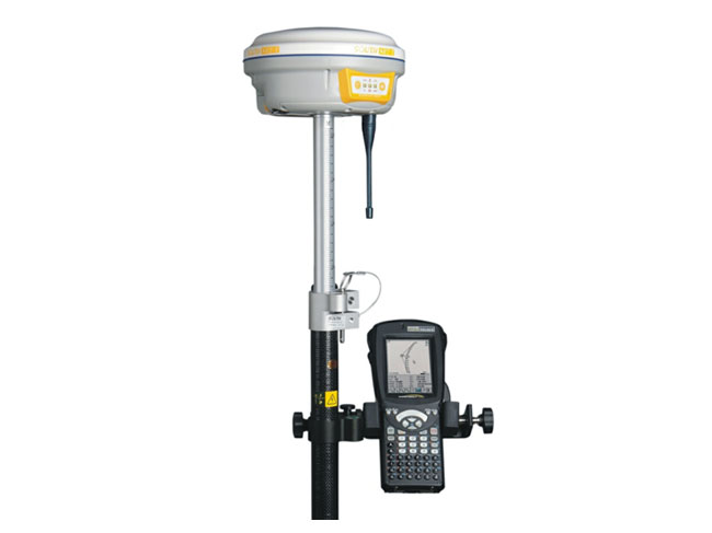
Accuracy
- Horizontal : ±3mm + 1ppm
- Vertical : ±4mm + 1ppm
Method
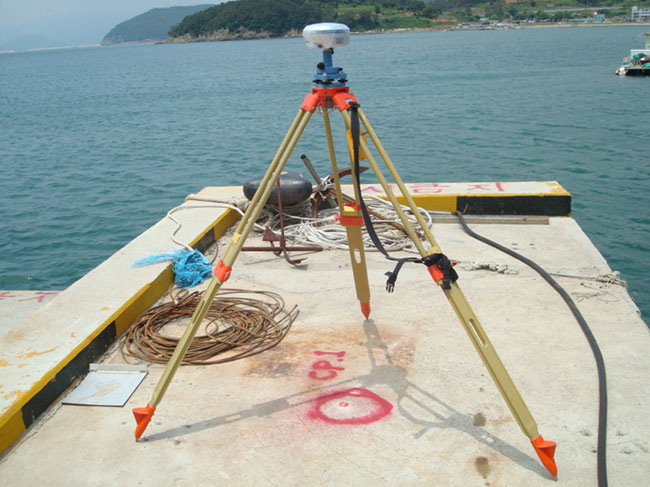
- Setting at solid & barrier-free ground
- At least 2hours or more observation per 30 seconds for minimum PDOP & surplus observation time zone
Result
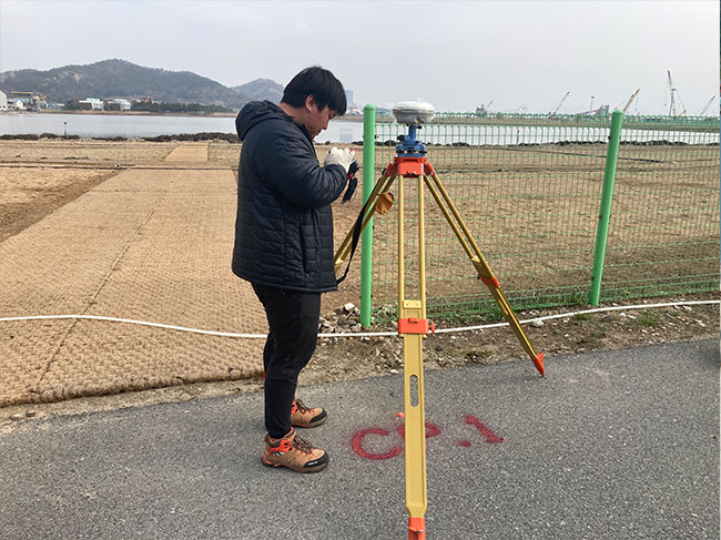
- Control point survey
- Land status survey
- Detailed survey
Using method
Control point survey, control laying

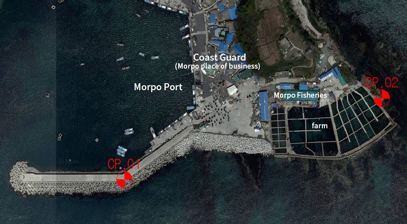
Realtime kinematic survey
Real time survey, Precision location determination
Equipment

Accuracy
- Horizontal : ±10mm + 1ppm
- Vertical : ±20mm + 1ppm
Method
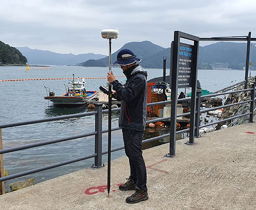
- Speedy & Accurate location survey
Result
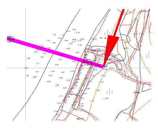
- Control point survey
- Land status survey
- Detailed survey
- Shoreline survey(long-term change monitoring)
Using method
Control point survey, ground construction survey, detailed maritime construction survey(ex. driving etc.), long distance survey, shoreline survey
